| |
UAV / UAS
Unmanned Aerial Vehicle
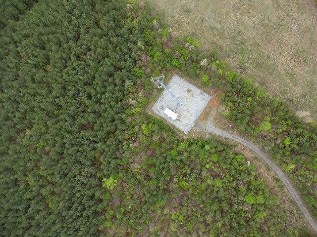
Our 'Drone' is a fully automomous survey-grade mapping drone (UAV, RPAS or UAS). It is capable of in-flight processing of RTK corrections from most leading brands of GNSS/RTK base stations via its supplied Motion flight control software and ground modem.
If you are interested in seeing how we can use our UAV on your next project, please contact us for further information.
- Agriculture - Crop reflectance maps with vegatation index values, real-time plant health reports, actionable treatment advice -supplied quickly, efficiently & typically at lower cost than using manned aircraft.
- Mining - Stockpile evaluation & volume calculation, works monitoring, distance & cross-section measurement and much more.
- Forestry - Species analysis, growth montoring, disease mapping, border clarification, post-fire assessment & replant planning, etc.
- Conservation - Animal counting, species detection, anti poaching management, habitat mapping and more.
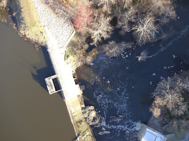
- Environmental Management - Landfill volume calculation, coastal erosion assessment & vegetation analysis.
- Urban / Regional Planning - Feasibility studies, infrastructure planning & redevelopment, landscape mapping and design etc.
- GIS - Assest management, spatial analysis, accident mapping & more.
- Humanitarian - Post disaster assessment, reconstruction planning, prevention planning, capacity building and more.
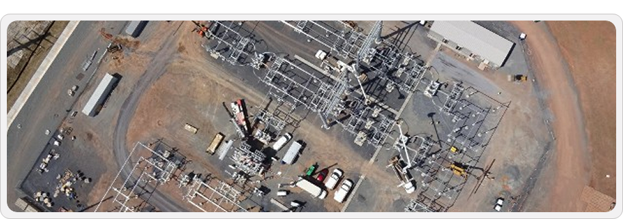
- Infrastructure Management - Pipe & wind turbine surveys, plant inspection & documention, solar field themography and more.


|
|
|
|